 Power lines run parallel to Highway 11 nearly all the way between Pendleton and Milton-Freewater. It is really the only sign of advanced civilization when you're driving between wheat fields, silos and tractors.
 Power lines run parallel to Highway 11 nearly all the way between Pendleton and Milton-Freewater. It is really the only sign of advanced civilization when you're driving between wheat fields, silos and tractors.
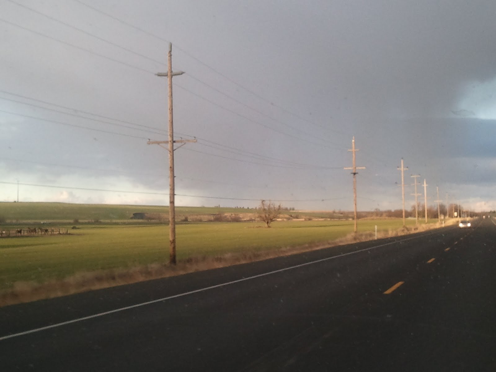
 Silos are a common sight when you're in farm country such as this. I believe it was here that during a massive wind storm in January 2008 a silo toppled, spilling grain all over the ground and scattering it in the wind. That was a lot of time, money and energy lost to whoever owns these silos.
 We're on a drive in the countryside this week; thanks for tagging along! This is Highway 11 outside of Milton-Freewater. This highway connects the Walla Walla Valley to Pendleton, Ore. (yes, home of the famous Pendleton Round-Up), as well as to Interstate 84, which one takes to get to Boise, Idaho (headed east), or Portland, Ore. (headed west).
 This part of the descent on Cabbage Hill enters a crevice of the hillside and takes one of several sharp curves. You can see why this hill might be treacherous in bad weather.
 I mentioned in yesterday's post that Cabbage Hill can be quite dangerous in winter weather conditions. The post you see in the center of this photo is a reflective post most American roads have alongside them, so you can keep track of the edge of the road in adverse conditions. You will note that an extension (the orange part) has been added to this one; up in the mountains all of the posts have these extensions because they often get so much snow the regular posts can't be seen. Also in this photo you can see the lanes of traffic going UP the hill (we were going down). This road has the distinction of holding the American record for the opposite lanes of traffic being the farthest distance from each other at any given point. I believe the distance (not here, but nearby) is over a mile.
 This is Cabbage Hill. While in the summer it is a mere overheating threat if you run the air conditioning in your car while climbing the steep hill, in the winter it is always questionable. Whenever we travel for Christmas or Thanksgiving we pray that the weather will hold and keep the roads clear because if there is snow or ice on this road, the drive becomes quite treacherous. I will show more photos in the next couple of days. This is just as you begin to come down the hill toward the Walla Walla Valley; you can see the farms and small-town homesteads dotting the fields below. The viewpoint offers a fantastic view, especially in the evening on a clear day.
 Just before New Year's, my friend Ciel popped online to say hello and asked how the weather was. She is familiar with my part of the world, surprisingly, and although she is quite a ways away in Versailles, France, she holds a special place in her heart for the WW Valley, where she has some local friends. I took this picture that day to show her what the weather was like...but forgot to post it! We had some sun over the past weekend, but before that, most days looked like this. The sign says "Walla Walla River," as in this photo I am about to go over it. This is Highway 11, the main road that connects Walla Walla and College Place to their next-door neighbour, Milton-Freewater, just across the border in Oregon.
 This is a common sight around the valley: Tractors going down the roads. Fortunately the drivers are quite courteous and always stay close to the shoulder so you can go around them easily. This one was actually going pretty fast; I'd guess it was going close to the speed limit, which is 25 mph on this road.
 I just love the springtime views on the outskirts of the city here in the valley. The fields are green, the skies are blue, the clouds are fluffy, and the mountains are clear. Everything is bright and cheerful. This was taken on Whitman Drive while heading east into College Place.
 This really looks like something out of the Arab deserts, doesn't it? No, it's just a dirt field on the east side of Milton-Freewater, with the brown hills in the background. This lone tree caught my eye as I was driving around the back roads. The Little Miss and I were out on a drive in an attempt to lure naptime to her. It worked, sort of. We were out for an hour and she slept for the last half of the drive. It was a nice day, so I didn't regret it. Most of the fields around here are wearing their winter browns by now. Everything has been harvested except the orchard fruits, which are currently being harvested. In this area we have mostly apples, but some orchards yield pears or cherries. This tree, however, is not a fruit-bearing tree. I'm not sure what kind it is, actually. Anyone out there want to venture a guess?

